Defense · Critical infrastructure 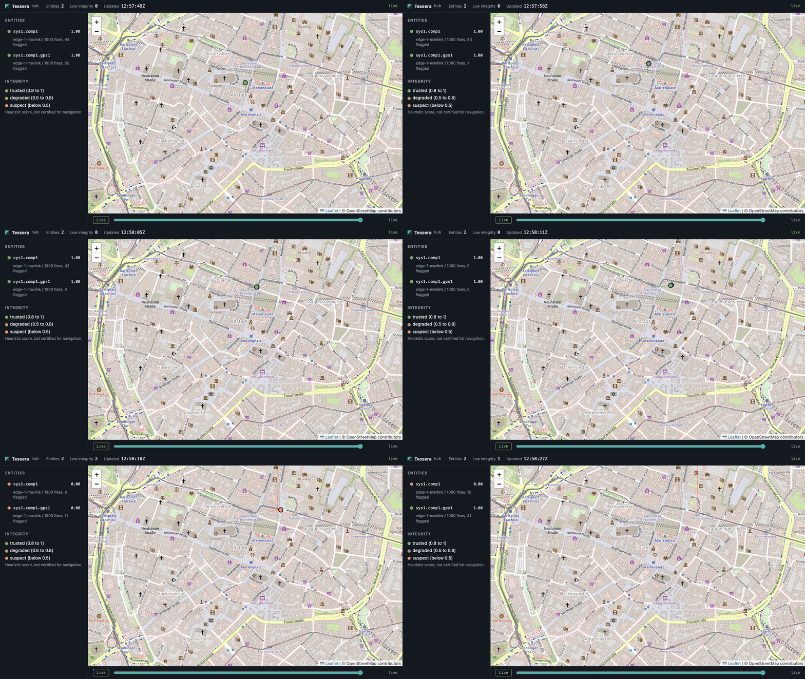
Tessera
A fleet picture that tells you which positions to trust, and keeps working when the network and GNSS do not.
What it does
- Ingests telemetry (MAVLink, AIS, JSON) at the edge
- Signed store-and-forward sync to a hub
- Live map with position integrity scoring
Demo
Simulated copter. About 45 s in, the raw GPS track is glitched (shown in red) while the fused track holds steady. Runs locally with one Docker command.
Progress log
- Engineering through pilot readiness built and tested. Site launched.